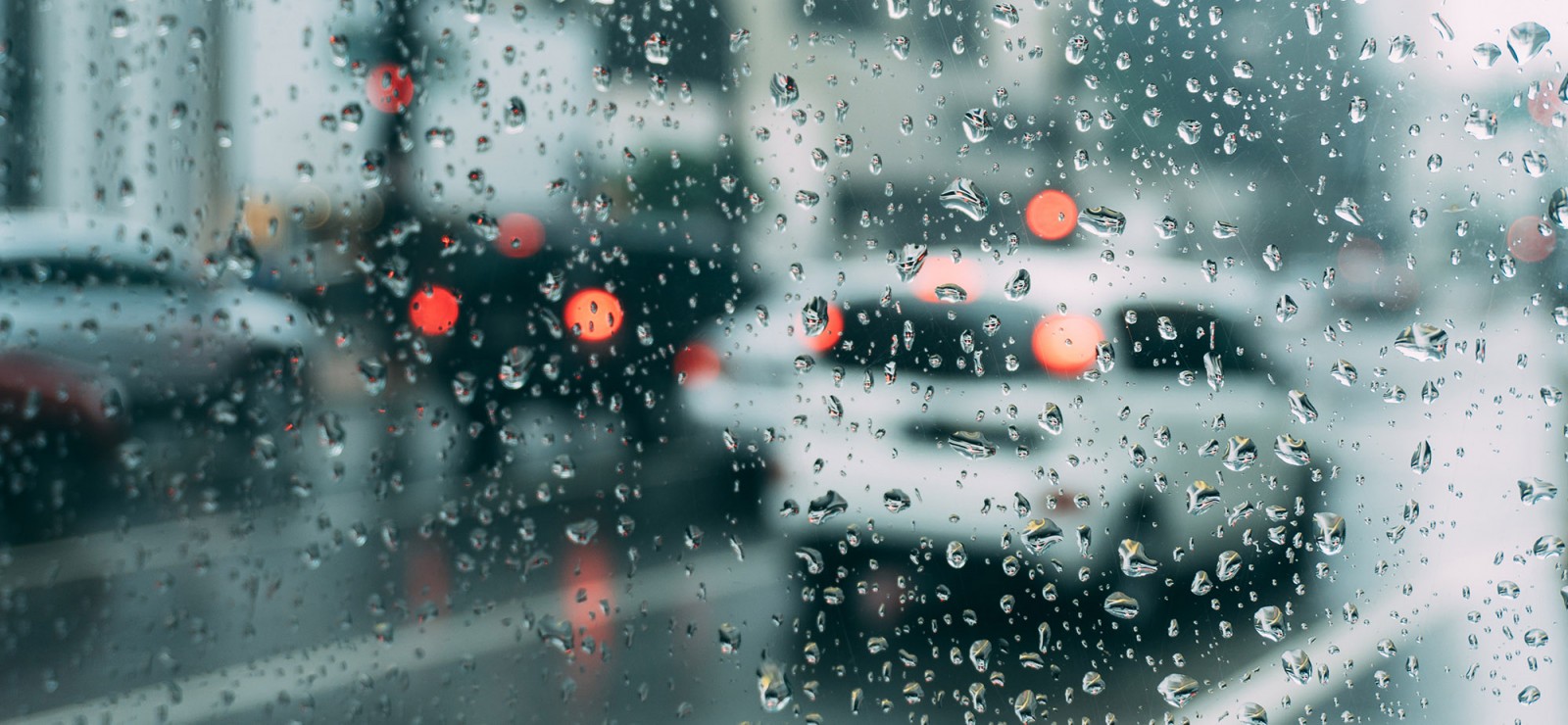
As the climate changes we must increasingly account for heavy rainfall and the flooding this causes. Having said that, there is already lots of data available to predict future flooding and potential damage. Yet our approach is not always aligned with this data.
More than forty dead, hundreds of homes completely destroyed and tremendous human suffering. The scenes we saw during the floods in Wallonia last July were unprecedented. And again, during the dark winter months, water levels are alarmingly high in some regions.
We are gradually realising that we must take more notice of potential flooding in the future. However, this is nothing new to scientists.
One of those scientist is Lisa Landuyt. She has teamed up with VITO and VMM (the Flemish Environment Agency) to launch TerraFlood, a tool for governments that identifies and maps risk zones. These maps can then be used in providing emergency assistance. “Thanks to TerraFlood you can now view flood maps of each region from 2015 to the present day”, she confirms.
“On the maps, you can quickly see where the water is high and where help is most urgently required”, explains Landuyt. “The fact that we work with special satellite images means we are unaffected by clouds and other weather conditions in providing a clear view of the situation.”
Sensitive areas
Of course, if excess water falls from the sky, various locations are affected differently. Much depends on the damage potential. “Naturally, the risk of damage is higher where there are more houses”, explains Ghent University researcher Hanne Glas. She has developed a tool that predicts the risks.
“I am trying to map out the greatest risk zones on a global scale. That’s not difficult in our country”, says Glas. “In Belgium, and also in neighbouring countries, there are clear records showing the locations of houses, buildings, and open meadows. That makes it easier to predict the risks.”
Water does not stop at the borders
The data may be available, but that does not necessarily mean that such data is taken into account. “There is lots of information available, but I have the feeling that it does not always reach the right people”, adds Hanne Glas. “In my opinion, that is because the information is not shared sufficiently between people in the field and those in the government. During last summer’s floods in Wallonia and Limburg it became clear there were some kinks in the cable.”
According to the researcher that is due to the fact that water management is a regional matter. “Water does not stop at the borders between regions. If the river Meuse bursts its banks in Wallonia the impact naturally reaches as far as Limburg.”
Revising spatial planning
There are some positive points, though. “The impact of the floods can clearly be seen in today’s water management strategy, in the researcher’s opinion. “You can see that applications to build in flood-sensitive areas are increasingly being rejected. We have seen too little of that in recent years, despite the fact that tools like ours exist and clearly demonstrate the risks.”
It is therefore essential that we review our spatial planning. “Too much has been built in flood-sensitive areas in the past, and we must now bear the consequences”, explains Lisa Landuyt. “We must give rivers the chance to overflow. We are already establishing nature areas where possible, but this is not always sufficient. We witnessed proof of that this summer.”
So what is the solution? “In the long term we are advised to return to a more compact spatial approach, featuring more open spaces in combination with city and village centres where we all live together. Of course that is tricky, since once you’ve built a house somewhere you can hardly just knock it down. However, in the future, we may not have the choice.”
Densely populated coastal areas
Belgium is naturally not the only country facing floods. “It’s a global problem. However, in our region, we have the resources to gather the data required to prevent significant human suffering. In areas where floods hit the hardest they often lack such resources”, says Hanne Glas. “My research is therefore focusing on the SIDS, Small Island Developing States. These are low-lying, densely populated coastal areas which are extremely vulnerable to natural disasters. They require more research and attention.”
Lisa Landuyt received her PhD working on optimisation of flood mapping to improve flood prediction models in 2021. She now works at VITO (Flemisch Institute for Technological Research), where she continues researching image processing.
Hanne Glas finished her PhD in 2021. She focused on a risk assessment method for floods, specifically in 'small island developing states'. In het post-doctorate, she will flesh out her research and develop it into a tool.
Read also
Bio-engineer uses trees as bio-air conditioners
Since May, the Belgian pavilion at the Biennale Architettura 2025 in Venice has been home to a unique experimental setup: Building Biospheres. For three months now, visitors have been experiencing how a planting area with 250 subtropical plants and trees creates a pleasant indoor climate.

Researchers from Ghent University in Antarctica: unearthing the secrets of the southern continent
How do microorganisms in polar regions respond to change and what does this teach us in the fight against global warming? For many years, this question has occupied biologist Bjorn Tytgat and the team he is a part of.

Optimism as a driver of change: honorary doctorate for Christiana Figueres
Ghent University is awarding an honorary doctorate to Christiana Figueres for her tireless commitment to climate action and her unique ability to unite people and nations around a common goal. She has turned her stubborn optimism into a lifestyle.

Understanding the impact of climate change? Measure, measure and measure again!
“Climate change is a global problem. But if you really want to know its impact, you have to have local data.” So say meteorologist Steven Caluwaerts and bioengineer Pieter De Frenne. They both do research on microclimates, albeit with a different starting point. “Actually, we are very complementary. We should meet more often!”
